BHP
BHP is a world-leading resources company. Its goal is to provide natural resources that power the world. BHP delivers on its goal by practising sustainability in its day-to-day operations and by expanding its capabilities to achieve high standards of business performance. The Newman project is an integrated system of iron ore mines that spans across more than 100 square kilometres. The site is one of the biggest in the world and is a major contributor to world iron ore production.
THE CHALLENGE
In Newman, Western Australia BHP needed a solution to track their light plants and generators, spread across 100 square kilometres. As the light plants and generators run on fuel, they need regular monitoring to ensure they don’t run out. This meant a staff member would need to drive around the site with a fuel truck and check each of the light plants and generators individually on a daily basis, as they had no way to know which ones needed topping up. This was a huge waste of time and resources as for the most part once he reached a piece of equipment, he would find that it was full and would then need to move on to the next without really needing to be there in the first place.
To make the whole process even more challenging, the driver would often need to go looking to find the equipment as other people would move them to somewhere they needed them without bothering to tell anyone they had done so. As such, no one knew where the assets were or where to go to check their fuel levels.
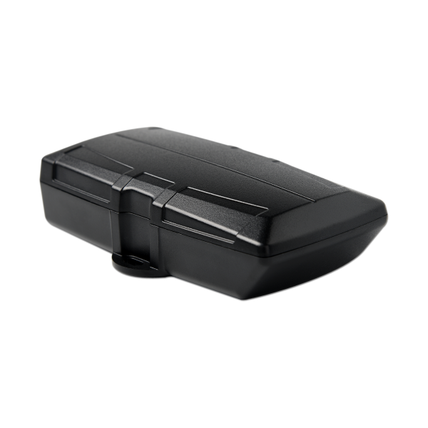
THE SOLUTION
To address this issue, Digicore utilised one of its asset tracking solutions that was capable of not only providing accurate information on its location but also monitoring its fuel levels. Digicore also ensured the chosen device was capable of utilising a high-gain antenna. Mine pits are notorious for creating cellular dead spots and utilising a high gain antenna ensured the assets wouldn’t disappear due to a lack of signal.
Digicore then wrote a custom report specifically for this use case that sorted all the assets by fuel level and then incorporated the sites mine map overlay images into the report. This provided an accurate representation of where the assets actually were on the site even as the site map changed overtime.
This report allowed the driver to receive the report in the morning via email automatically and plan a route to simply visit the light plants and generators that needed refuelling. This meant that the job that used to take all day could now be done more efficiently and effectively in around an hour. Saving not only a lot of time, being able to better manage their assets but also thousands of dollars per month in the inefficient use of the fuel truck driver’s time.
 “In the civil & mining sector, efficiency and safety are our top priorities. Digicore has been a cornerstone of our operations, providing us with cutting-edge IVMS solutions. What impresses us the most is their ability to comprehend our unique challenges and design solutions that are both effective and cost-efficient. Their after-sales support is exceptional - always reachable, always proactive. It's a pleasure to partner with such a trustworthy, 100% Australian owned company.”
 “We have worked with Digicore for over the last 10 years and at every stage they have come up with innovative and price effective ways in which to help our business. As we grew, our demands grew and Dan from Digicore continued to provide excellent service and the best products.”
 “I want to say thank you for the phenomenal service and input Digicore has had, it has been particularly helpful in providing input to our business IVMS plans. Your team were incredibly professional and Digicore IVMS 2.0 is a very impressive solution.”
 “We started with a large tracking company and got locked in before discovering their units didn't have the functions we required. We switched to Digicore and we couldn't be happier. The product is excellent, pricing is very competitive but more importantly their product knowledge and support is second to none.”